
Between Colorado and home we spent a couple of days in the far Eastern corner of Oregon. Although it is the same state, Harney County is over 300 miles away and as different as can be from the Western coastal part of the state, where we live. Some people call that sparsely settled area "Oregon's Outback."

French Glen, a village of two businesses, a post office and about nine people, is the gateway to the Steens Mountains … the loop road to the top of the mountain starts right across the street from the Frenchglen Hotel where we stayed. Established in 1916, the historic hotel serves breakfast, lunch and family-style dinner to hotel guests and by reservation to others when there is room. (There is space in the dining room for 28 guests.) I've never been a huge fan of eating family style with strangers, but everybody at dinner had the shared experience of a day exploring so dinner became true 'family style' pretty quickly. (The food was good and plentiful.) Because of its historical interest, the Hotel itself is now an Oregon State Park, as indicated by the blue sign under the windows on the right. (Management of the hotel and restaurant is by a concessionaire).

This area is known for good birding, but as on the whole road trip, we only had time for accidental sightings. This sweet Mountain Bluebird greeted us as we started our drive to the summit.

Steens Mountain is a part of the Malheur National Wildlife Refuge. Some of you may recognize that name because it made national news for a sad reason last winter and spring. (And I will write more about that in the next post.) When we lived in Oregon (the first time, before retirement) we camped several times in the refuge. It was a great getaway spot when we had a few days off to travel, but it had been years since we'd been there. Because of the news, we'd been talking and reminiscing about the area for months. I was happy when Bill figured out that we could stay there without going too much out of our way as we traveled home.

These ancient mountains were formed when rivers of basalt lava flowed across the area. Each flow added a new layer of rock. As the lava slowly cooled, the earth's crust bulged and cracked to form faults. Over time, huge blocks of basalt moved, tilted, and slid along the faults. Steens Mountain is a 30-mile long fault block that tilted to the west. The block east of that one slid downward to form the Alvord Basin. The top right picture is looking down on the Alvord Desert, the driest place in Oregon.
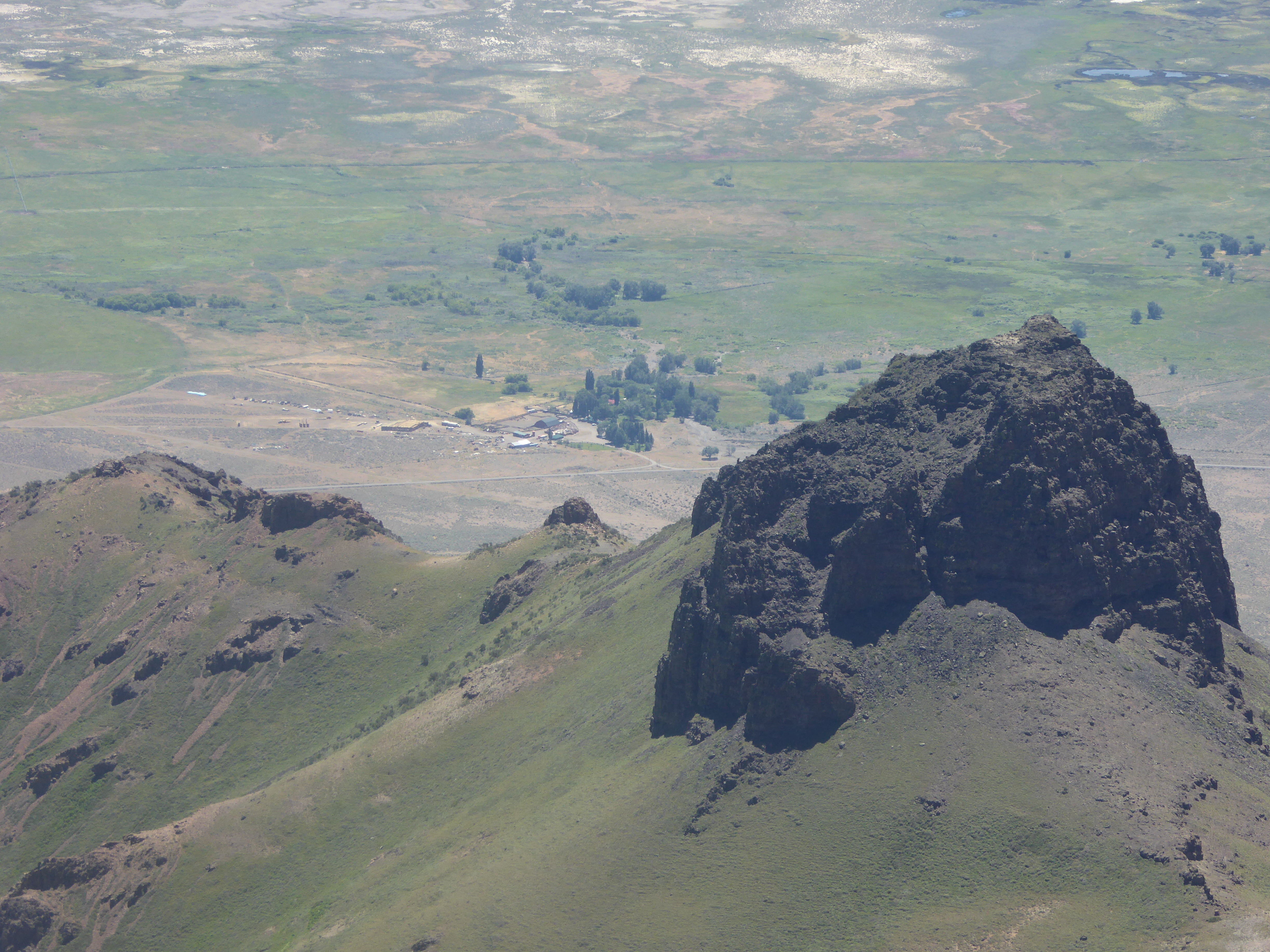

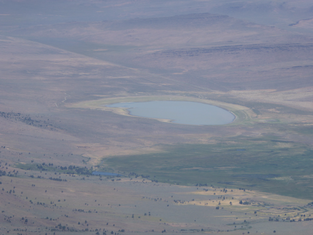
The desert receives only about six inches of rain in a year and sometimes, when winter snows melt, a shallow lake forms on the desert surface.
This picture of the Alvord Ranch next to the dry lake, and those in the collage, were taken near the summit of the Mountain Trail (the one you walk up to after you drive the narrow road.) We decided that things had really changed in the years since the last time we visited the summit. It didn't used to be nearly as steep or as hard to climb twenty years ago! (Back in our own version of ancient history, when we were younger and stronger.)
LINKING to OUR WORLD on Tuesday; NATURE NOTES; SEASONS; and WILD BIRD WEDNESDAY.
Thank you to all of the hosts for providing these sharing opportunities. (Click on any of these links and visit the hosts and other links.)
We appreciate all visitors and commenters! Thank you.