Category: NATIONAL PARKS

  • ROCKY MOUNTAIN HIGH JUNE 2009

    Rocky op 09Our son and daughter-in-law moved to Longmont, Colorado about the same time we started our most-time (then Full-Time) RVing, so we've been coming to the Loveland-Longmont area once or twice a year for a decade.  By now, it is another place that feels like home and it's good to be back again.

    A week ago on Saturday, Geoff and Lisa picked us up for a day trip through magnificent Rocky Mountain National Park.  It was a beautiful day.  Sunshine, snow (but none on the roads), elk, and the closest we've ever come to a moose (mother and baby).   Scroll through the pictures — they really say it all. 

    Elk 12

    Moose and calf 20 Moose 021-1

    Elk meadow p15


    Yup, it's beautiful Colorado in June.  We're lucky to be "home."

  • THEODORE ROOSEVELT NATIONAL PARK


     At this point in time, our Spring road trip is winding down and we're ready to get back to places that feel like home and people we miss.  As a result, we really didn't give ourselves enough time to thoroughly explore Theodore Roosevelt National Park.  But we loved what we did see.  The entry to the South unit of the Park was about 30 miles from where we were staying in Dickenson.  When we got within a couple miles of the entry, the terrain changed from the gentle, flat farmland that is most of the State of North Dakota to beautiful rocky formations and chasms.  The Missouri River did a pretty darn good job of carving here.

    We took some easy hikes and saw some beautiful scenery.  Painted canyon 91 This is a view of Painted Canyon just on the Park's edge, near the town of Medora.   In the distance are the North Dakota badlands.  (The South Dakota Badlands are another National Park.)  We took a short trail hike here.

    We also stopped at several other places for short hikes. This Park has the clearest air of all the National Parks.  (I wonder if this might not be true of the whole State of North Dakota as well.  Not too many people and not too much industry here.)  


    Hill top y 19 


    Prairie dogs pic 104 We saw some wildlife.  There are quite a few prairie dog villages and  several herds of wild feral horses whose ancestors have roamed these lands for centuries.  (The one below is standing in the Little Missouri river bottomland.) 

    Feral horse little mo 129

    We also saw quite a few bison.  (But nothing like what we saw last year at Custer State Park, in ND's neighbor to the South.)  (Click on the blue if you love bison/buffalo pictures as much as we do!)

    We learned some history.

    TR cabin 99 This is the cabin where Teddy Roosevelt lived during his time in North Dakota.  The cabin has been moved to the Park's main visitor center from its original location, the Elkhorn Ranch unit of the park, which is less accessible. When he lived at the Elkhorn, Teddy led a simple rancher's life.  He learned about the badlands and nature and let the beauty and quiet of the area heal him from the recent death of his wife and mother at their home in New York.   Roosevelt came to North Dakota to recover.  He said later that he would never have been President if not for the time he had spent in North Dakota.  As President, TR was instrumental in establishing National Park legislation.  He wanted all Americans to experience some of what he felt about these beautiful spaces.

     Truck hill y 21

    We are always happy when we can see another one of our National Parks and we'd like to explore this one again sometime.


  • THE EVERGLADES

    Yesterday, we took a day trip to the part of Everglades National Park that is closest to Ft. Myers.   It was a two-hour drive to Everglades City, the park's western saltwater gateway.  Everglades is the third largest National Park (after Yellowstone and Death Valley) but much of the acreage here is water — and islands.  Nothing in the whole park is more than eight feet above sea level.  We took a guided boat tour to explore the part called Ten Thousand Islands in Chokoloskee Bay.

    Rock island 05 South Florida is not very old in geological terms.  It surfaced during the Ice Age and is built on rock which is only 6,000 to 8,000 years old.  On the first part of this tour, it was easy to see examples of this sedimentary rock where the channel to the harbor was dug. The  brackish water here is stained brown from the tanin in the mangrove leaves that are dropped.

    As we got further out, the water began to get bluer.  It was deeper and there was more salt in this water from the Gulf of Mexico.  We could see where the sMangrove island 06andbars and low islands are built up into larger islands by the action of the mangrove trees.  These are also called Florida Walking Trees because of the way their branches seem to wander out into the water.  They form roots which provide stability for the trees, allowing them to absorb needed water from the saltwater.  They also trap sediment which builds and enlarges the lands.  These islands provide feeding grounds and rookeries for sea life and birds and reduce water and flood damage.  South Florida is the only place in the US where the conditions are right for mangrove trees to grow.  

    There are so many of these islands that it is almost impossible to tell where you are.  It is said that people have been lost forever among them.  Good thing our boat pilot knew the area.

    Pioneer conservationists called the Everglades "River of Grass."  The grass river still flows toward the bay and the Gulf of Mexico, but it is threatened.  This National Park was the first one created to protect a threatened ecological system.Grass

    Water management is a critical issue for the Everglades.  Canals and other water controls outside of the park disrupt the natural flow.  Agricultural runoff could cause the Everglades to die.  There are ongoing efforts to save it, including the recent purchase of a huge sugar plantation which will soon be taken out of production and returned to swamp land.

    On our way home from the Park, we stopped at Turner Creek.   This is an excellent place to see birds and Florida alligators (one is in the picture below).   So it was another National Park for our "life list" and a great day trip from Ft. Myers.  

    Trees and gator 19


  • SOAKING UP SOME HISTORY (HOT SPRINGS NATIONAL PARK, 2008)

    Buckstaff 17Hot Springs is quite an unusual National Park.  Water — for bathing and drinking — is the main attraction.  The Park is a developed area in the small city of Hot Springs, Arkansas.  Some beautiful scenery surrounds the city, but the main part of the National Park is located along one street in downtown Hot Springs called Bathhouse Row. There is also is a series of walking paths through a park area behind the Row.  This is the Buckstaff Bathhouse, seen from the path behind it.

    Hot Springs isn't a volcanic region.  The water began as rain that fell over 4000 years ago.  It is heated by a combination of rocks that lie deep in the earth here and then it surfaces in springs on the slopes of the Hot Springs mountains.  It gets hot because of gravity compressing the earth and by certain elements decaying the earth crust. When it gets to the surface it is an average temperature of 143 degrees F.  People filling water jugs hotsprings 18

    Many people believe in the therapeutic powers of the spring water.  There are free fountains fed by springs throughout the town and we saw people collecting it by the jugful to carry home.   The water has no taste or odor at all.

    There are records and pictures showing that various American Indian tribes bathed in these springs in the 1700s and probably their ancestors used them before that.  People soon began to build shacks and wooden covers over some of the springs.  After several disastrous fires, the government took control of the springs in the 1870s and began to license private bathhouses.  The area was promoted as "the Nation's Health Sanitarium."  Water therapy was one of the few treatments available for many diseases.  In the 1920s and 30s, the area was a hugely popular health and vacation destination and a major rail travel destination.    

    But as medical advances provided a surer way to cure disease and car ownership made it easier for people to travel for longer distances, Hot Springs began to decline as a vacation/health destination. Mens pool foredyce 10

    By the 1950s, only one Bathhouse was still operating and some of the others were left to become eyesores.

    After years of decline, the National Park Service began working to restore Bathhouse Row and preserve it as an historical attraction.   The Foredyce Bathhouse is where the Park Visitor Center is located.  It has been restored to the glory of its hey-days and there is a self-guided tour.  The room pictured here was part of the men's bathing room.  The women's side of the bath house was not as elegant. Taking the baths was quite the social occasion in those days, as well as being therapeutic.

    Now there are eight preserved bathhouses along the row, but only a couple are operating.  The Park Service regulates and supervises, but they are run by private concessioners.   Others are still in the process of being renovated..   

    We felt like it would be a shame to be in a National Park and not sample its main reason for being.  So we went to the Buckstaff, which is the one that has been operating continuously since 1912.   It isn't quite as glamorous as it used to be, but being pampered felt great.  Ahhh!  Who would ever think that taking a bath would be a part of a National Park experience. 

    What a fun way to "soak up" some history.

  • ON TO YOSEMITE NATIONAL PARK

    Yosemite 075 We left San Diego with some reluctance, because we had fallen in love with our spot there.  We have stayed in other places that feel like home, but at the others there are weather-related reasons that make it easier to move on.  (It is either going to get too hot or too cold — or too rainy — in a short while.)  San Diego doesn't have either of those disadvantages, and It was easy to imagine living there.  But we weren't really ready to give up our full-time roaming life, even for San Diego.   Our first planned stop when we left there was to visit Yosemite — a new National Park for us.  So that made it easier to get back on the road.   

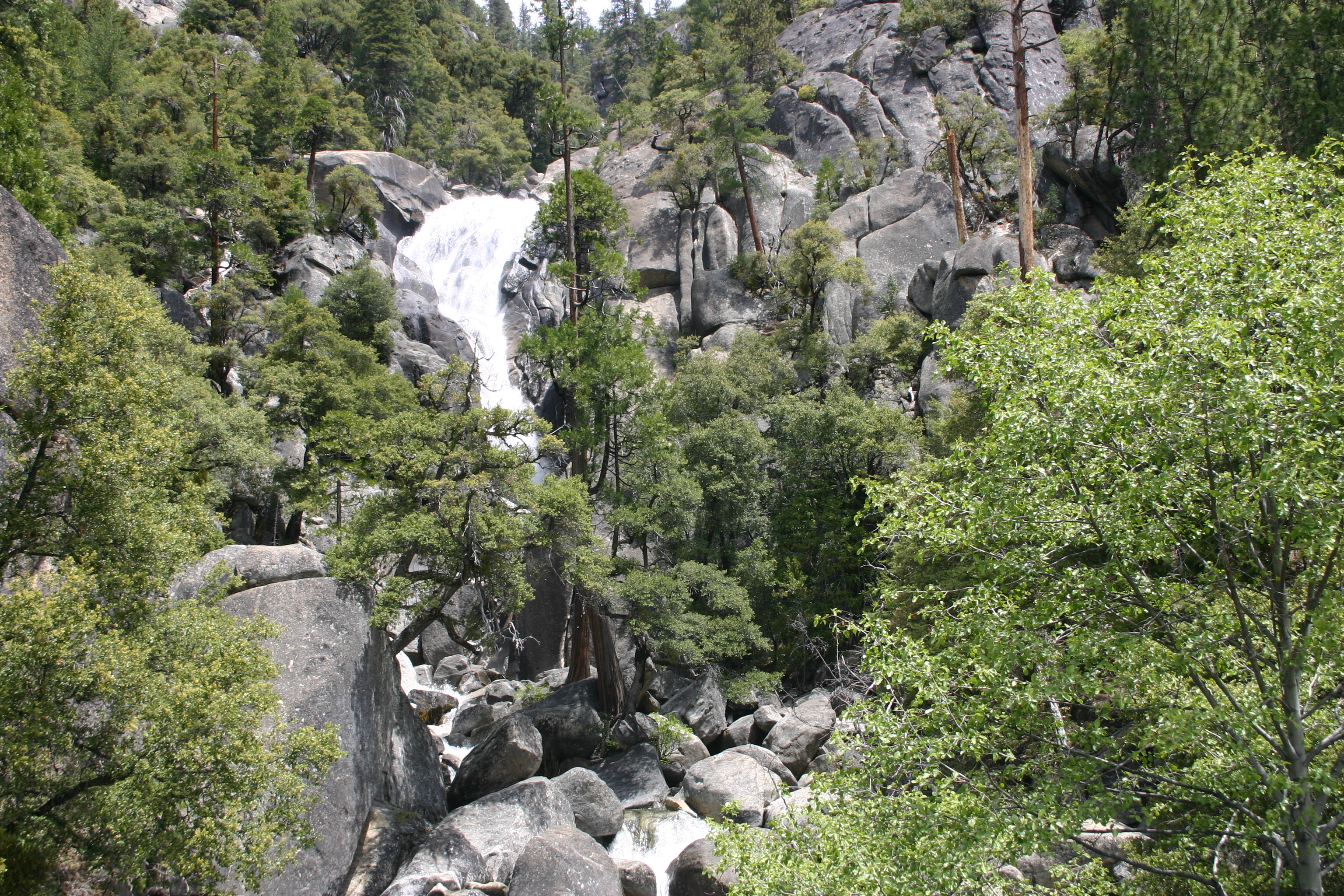
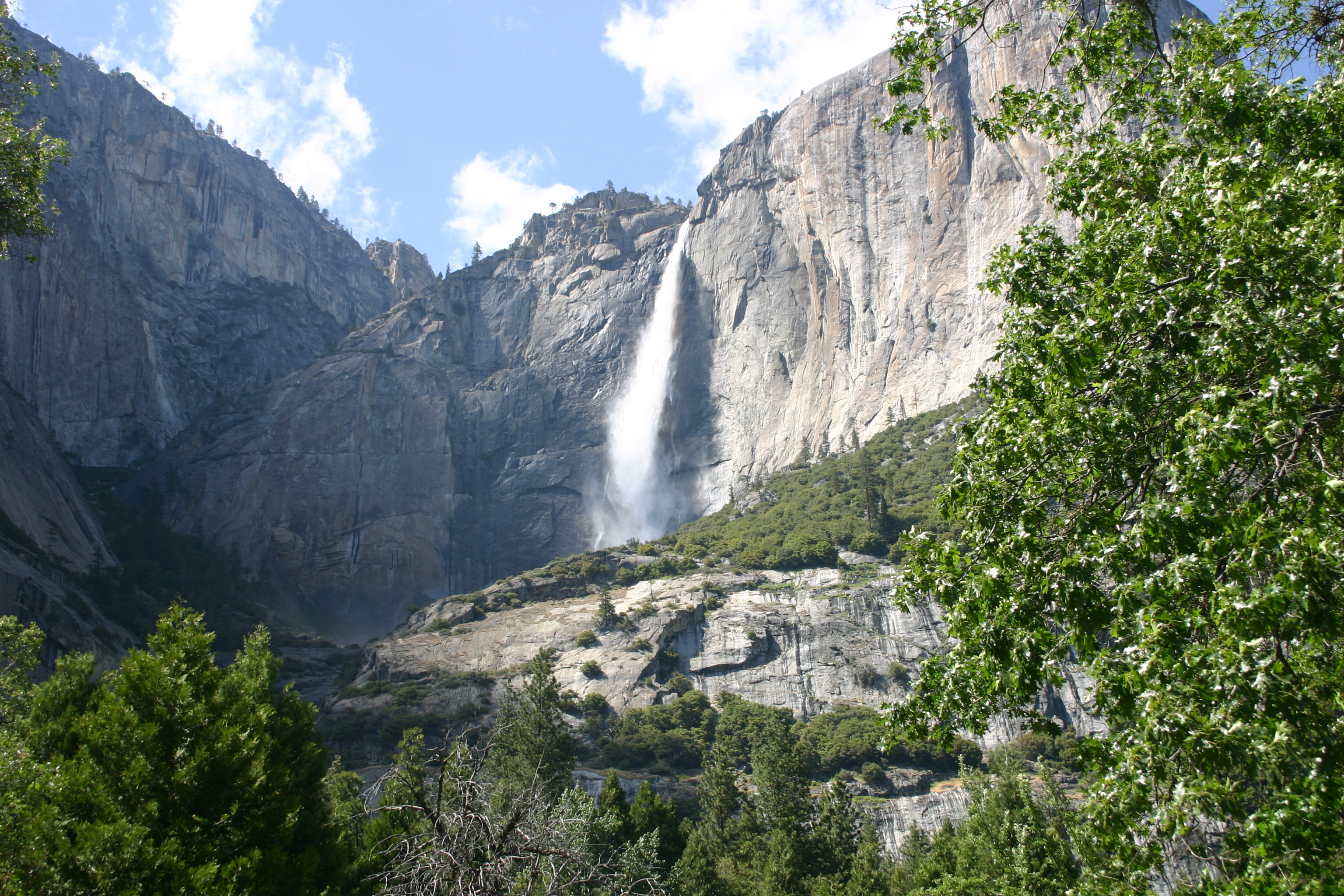
    Yosemite U069 We had missed seeing Yosemite on all of our previous trips to California.  This was a great time of the year for our first visit.  It was still spring, the waterfalls were all active, crowds were minimal and the weather was great for exploring.  Unexpectedly, we found that this National Park has wonderful bike trails throughout and we took full advantage of them. 

     Cars weren't allowed in some parts of the park, which is a good thing because of the huge crowds this park attracts, especially in the summer.  (That's the reason we had never visited the park before.)  There are shuttle vans between scenic stops and we used those as well as our bikes. 

    Yosemite 066

    This Park was incredibly beautiful and even the visitor centers were well done.  Having a lot of visitors pays off.   Like everybody else, we'd seen the iconic scenery in movies and pictures but it was more stunning than we had expected.  We are so glad we got to spend some time there. 

    The downside, though, was that we had to stay about 50 miles away, so we spent a lot of time on the road that week. I don't think another trip to Yosemite is in the cards any time soon unless we find a way to stay closer.  The hundred-mile daily round trip would spoil it now.  (We were younger and diesel was cheaper back then.)

    Below are a couple more pictures of this beautiful park:

    Yosemite NP U067

      Yosemite NP U 063

  • ARCHES, CANYONLANDS and MOAB

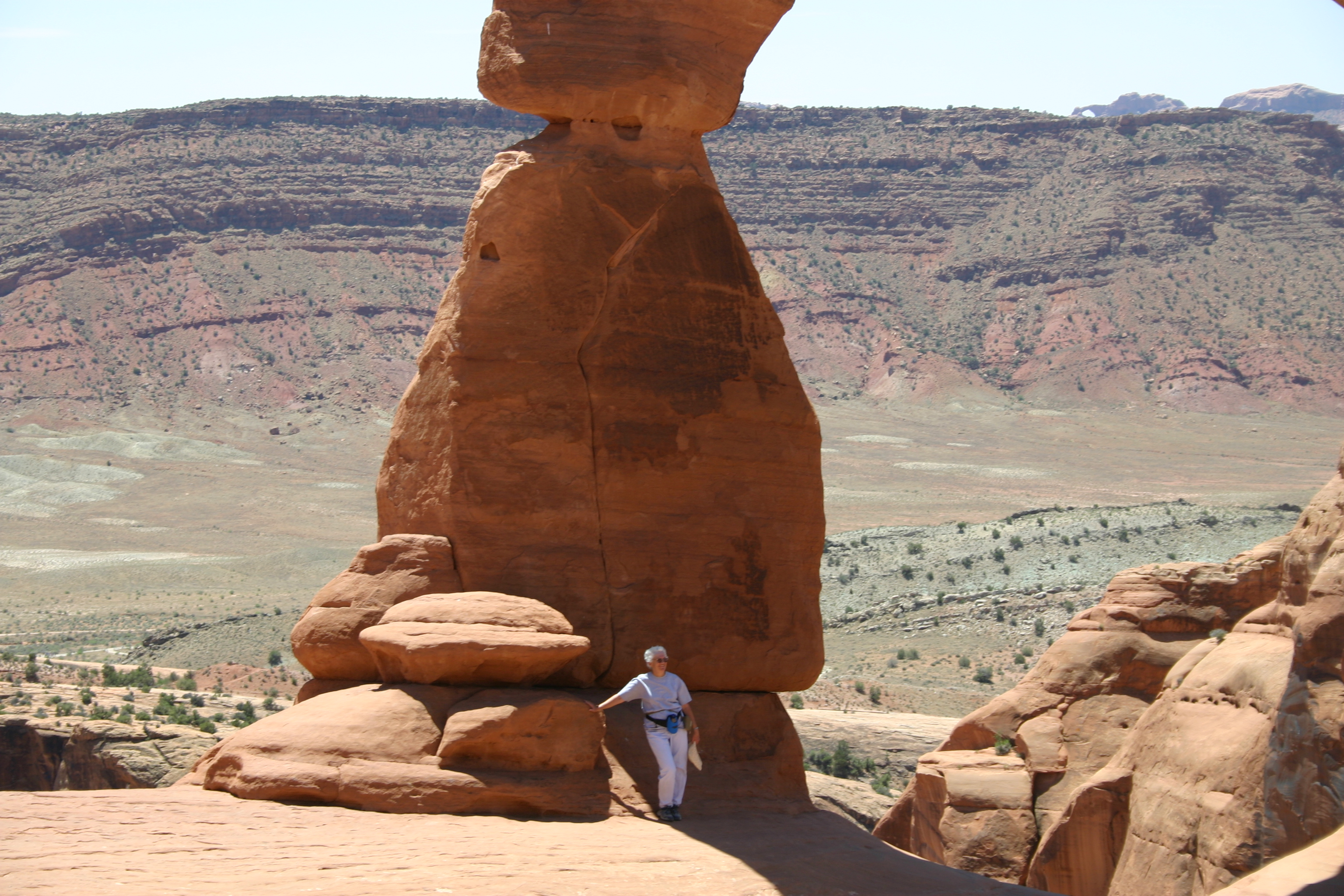
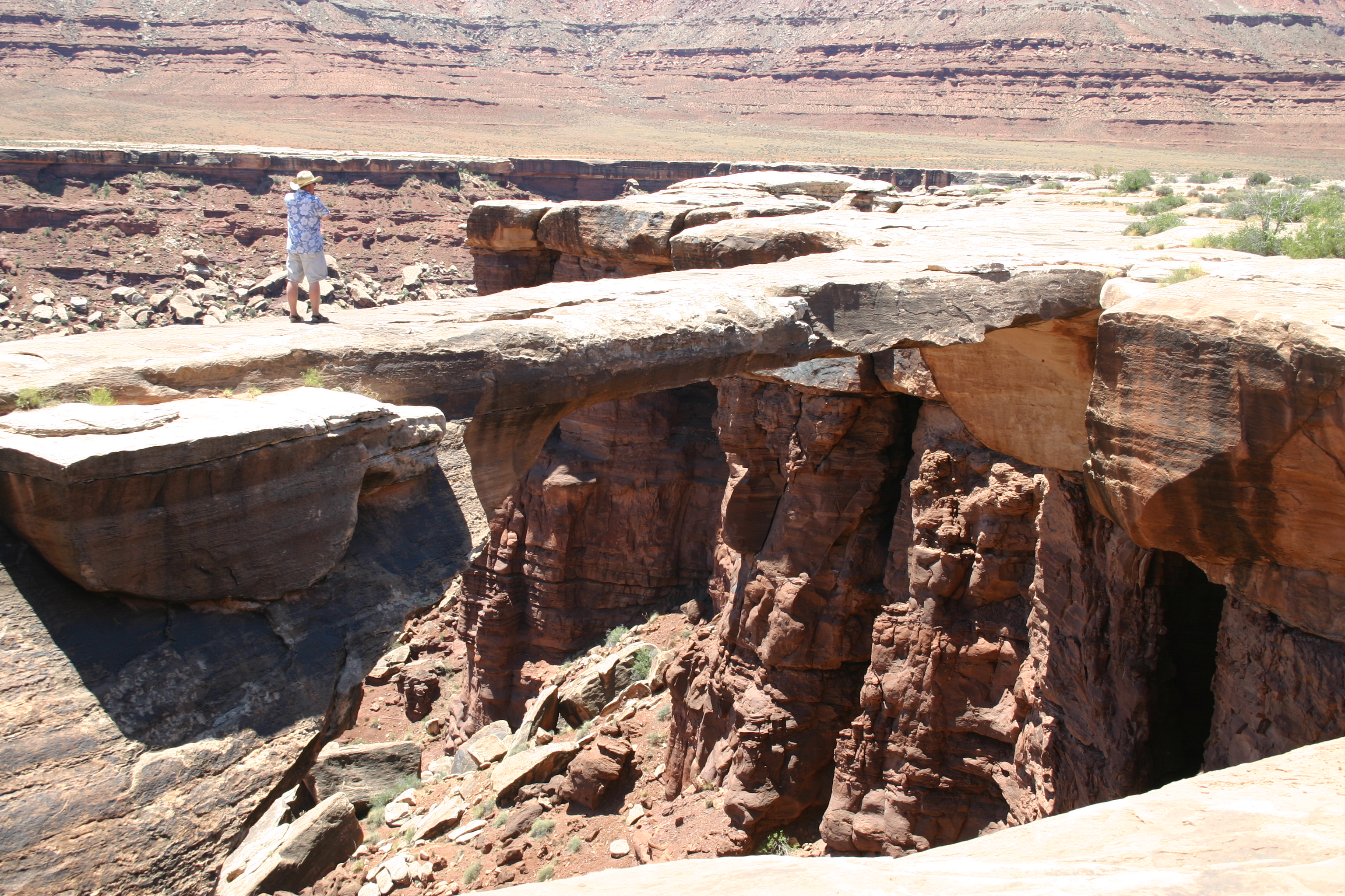
    Cynlands moab arches 1292 There was only one thing wrong with our 2006 visit to these two beautiful national parks — we didn't get to stay long enough.  We hope we get to go back.
    We visited both parks at least twice during our time in the area.  Does everyone know about the National Park's lifetime Golden Age Pass?  It's absolutely the best travel buy going for anyone over 62 (I think it was 55 when we got ours.)  We've had ours for years (well, duh) but I just checked and the current price is only $10.00.    You get in to any National Park and most other National Recreation areas without further cost.  I can't even begin to add up how many times over we've gotten our monies worth.  Get one if you're eligible!

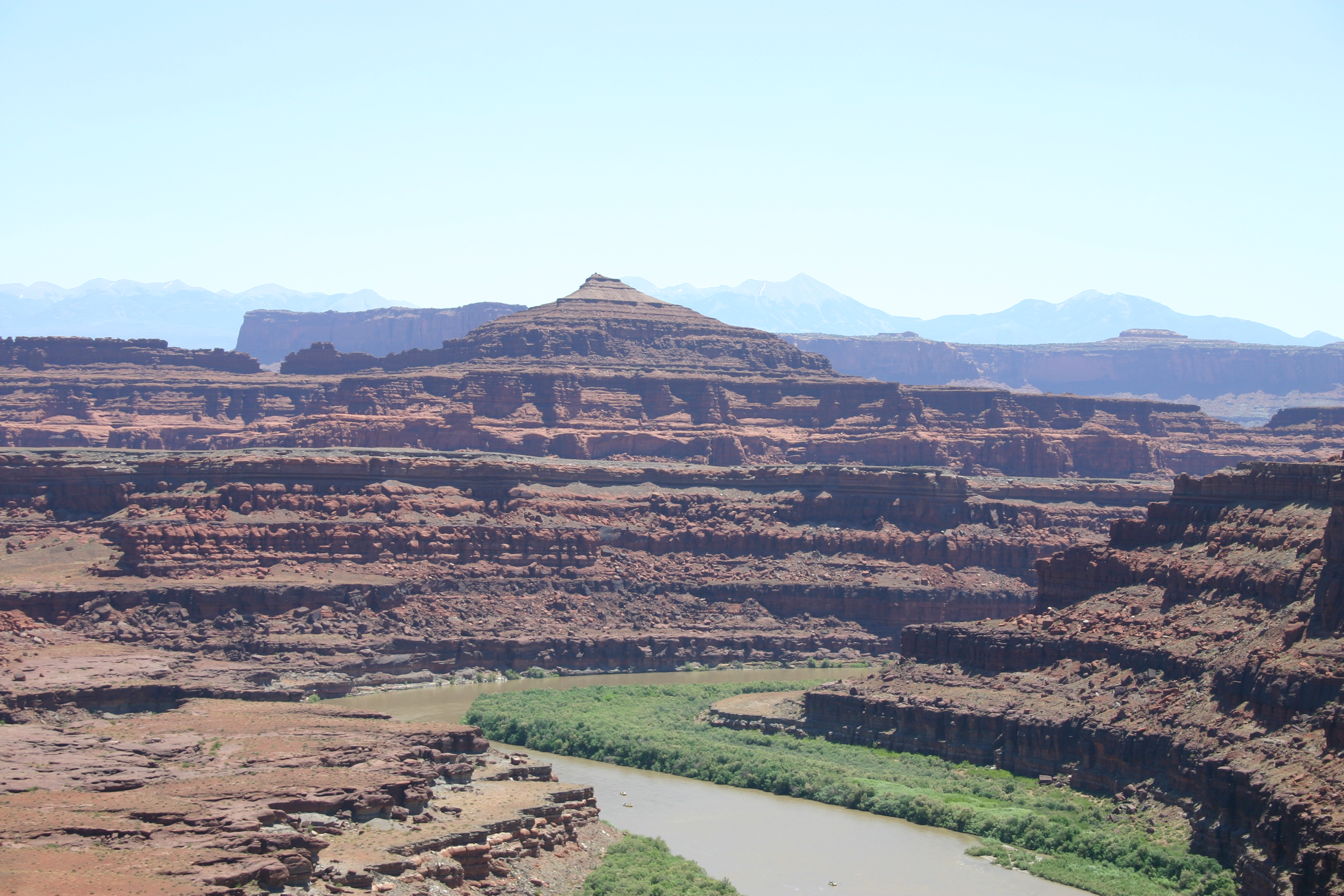
    The vistas at Canyonlands and Arches are awe-inspiring.   And the walking is great  – once you recover.  The Visitor Centers at both parks were helpful in providing an overview of the history and geology of the areas.    

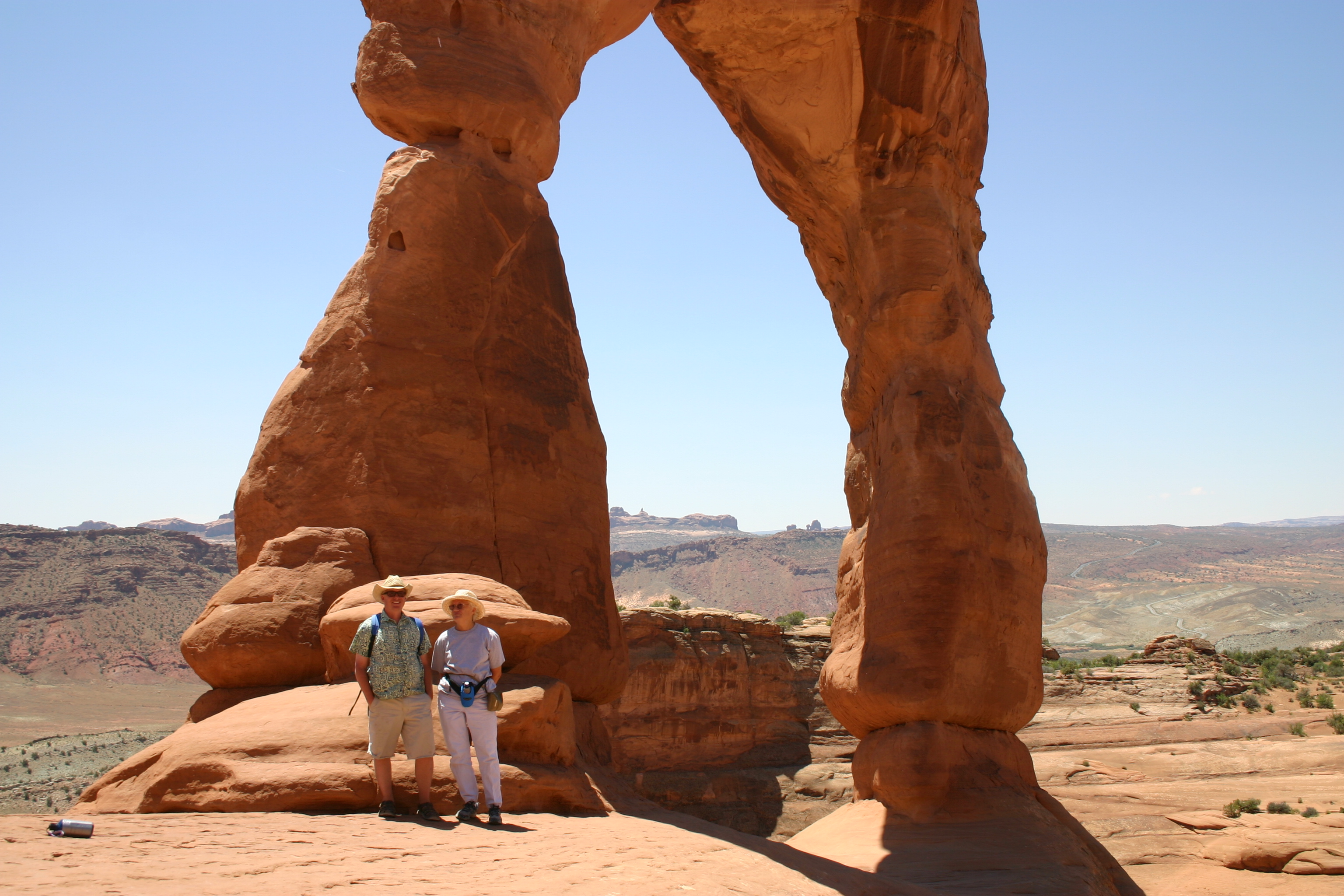
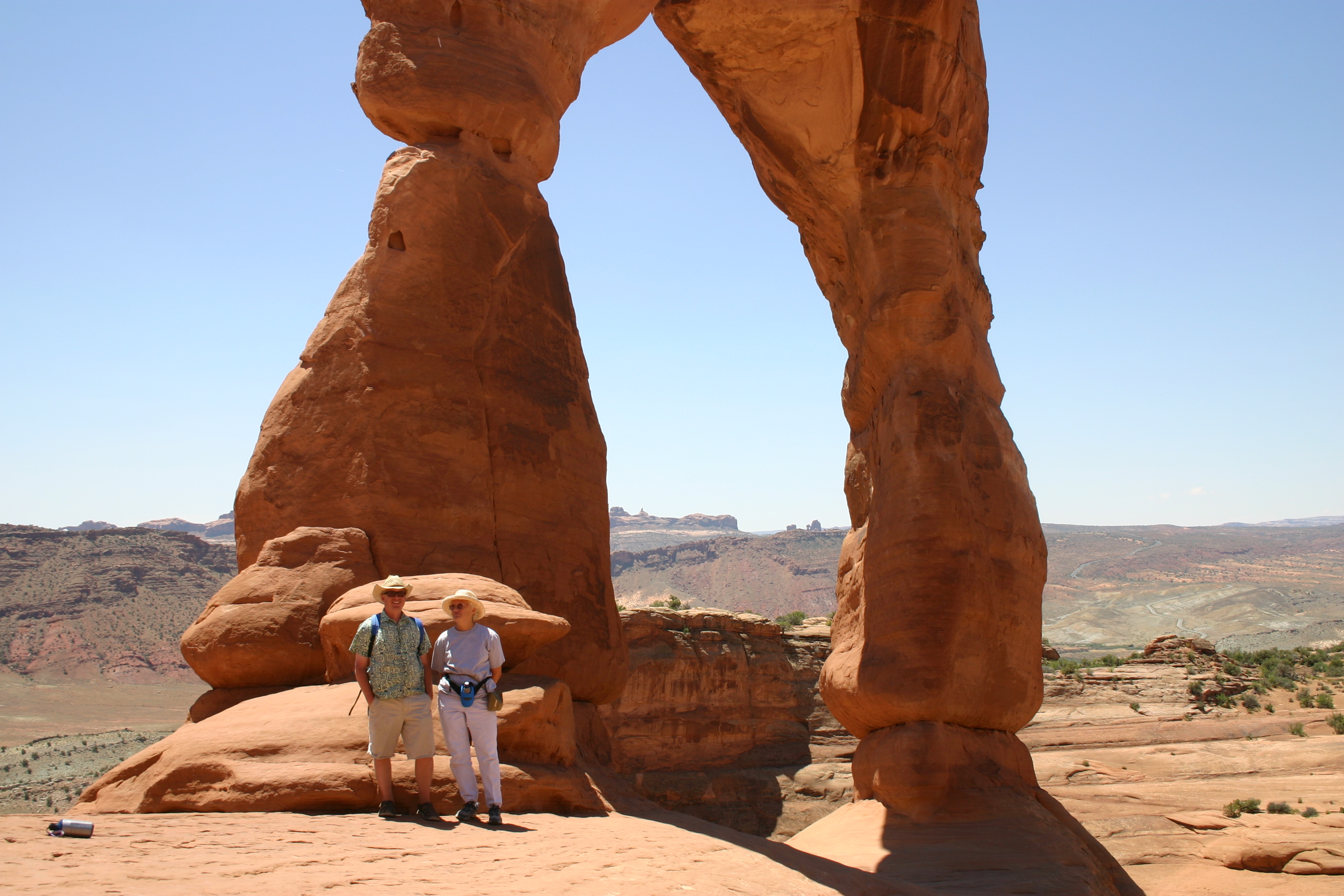
       Geoff and Sallie at keyhole _1352  Moab 9538 Used cynlnds arches hiking path 1331 Used Keyhole arches NP 1330

    We stayed in the nearby town of Moab — touristy, but still charming.

    Usednear moab _1290

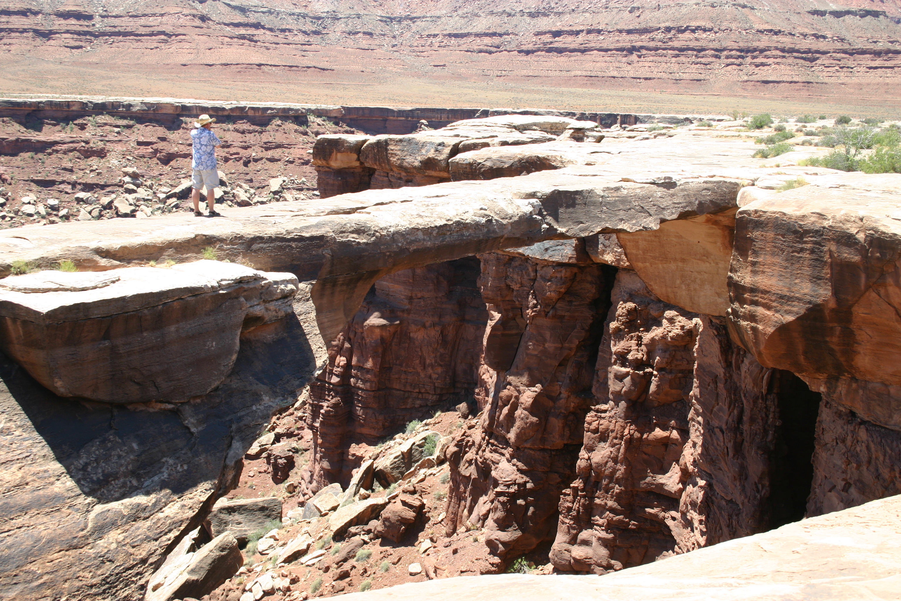
    Geoff on natural bridge 1307 Moab 9552  Top of the keyhole trail _1338

    Geoff drove over from neighboring Colorado to join us for a couple days of our stay, so we were able to explore some back roads with his Jeep. (Part of trail pictured below).    It's a rite of passage toward acceptance of middle- (or greater) age when you can trust your life to someone whom you taught to drive!  But once you get over this angst, it's a great feeling.  We loved the ride.

    At one stop on the trail, we met some people from the Netherlands.     It was their first visit to this country and first time to drive a Jeep (they had a rental).   They'd been watching and following us (at a good distance).  We were happy that we — and they — hadn't had any troubleArches jeep trail _1319Jeep trail we took 1309. 

    Bill had to walk in front a few times to  a guide Geoff, because he couldn't always see the travel line through the rocks we encountered. 


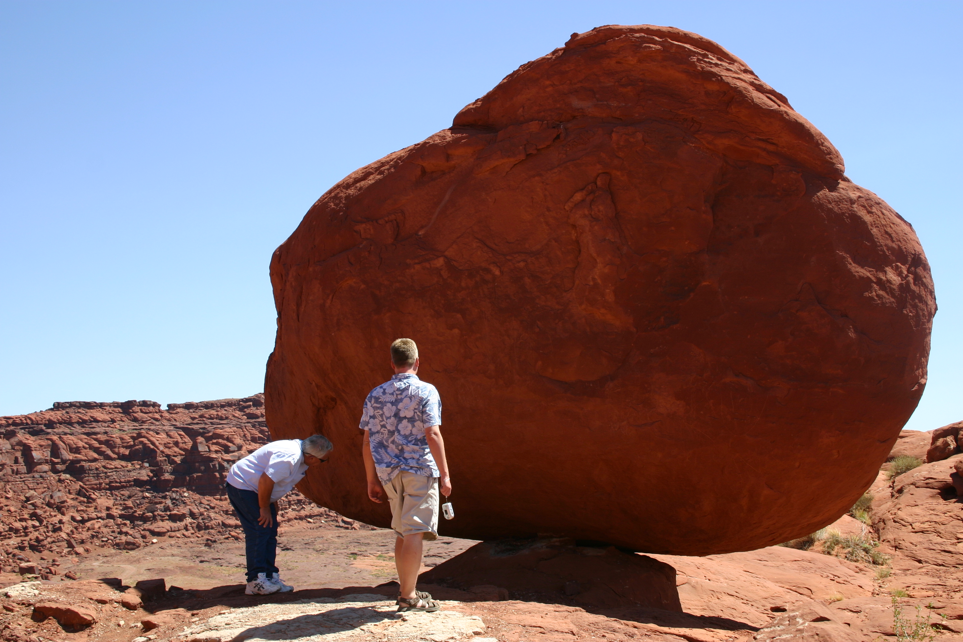
    How to move a rock moab_1284 The huge balanced rock was beside a road out of Moab.  It looks like Bill is trying to find the best way to move it.    


    ______________________________

    Just before we got to Moab, we stayed for a few nights at Bloomfield, Utah, only about 200 miles away.  It was from there that we visited Chaco Canyon.  http://travelingrainvilles.typepad.com/traveling_home/2008/02/chaco-canyon-ju.html

    We really hope to go back to this area.  We'd like to revisit all three of these beautiful parks and see the rest of the Four Corners area.

  • NEAR VERNAL UTAH, 2004 (Part 2)

    We went to Vernal because we had wanted to see Utah’s famous Flaming Gorge and the Green River and to visit Dinosaur National Monument. 


    So, our visit to the McConkie ranch (previous post) was a great example of serendipity because we’d never even heard of it until we got to the Vernal KOA where we stayed.  It really pays to pick up that tourist literature and to talk to people in the parks where you are staying.


    Flaming_gorge_2 The Gorge was every bit as breathtaking as we had been led to believe. Breathtaking not only because of the incredible colors and formations, but also because you have to hold your breath as you drive into Vernal on a long 8% grade. There were actually roadsigns that read “Vernal, 10 hairpin turns ahead” then “Vernal, 8 more hairpin turns left” and so on. Flaming_gorge_3 Always fun pulling your house behind you on that kind of road.


    Here is just one of many good links to more information about the Flaming Gorge:


    http://www.americansouthwest.net/utah/flaming_gorge/nra.html


    (the nra stands for National Recreation Association, by the way.)


    Dinofossil Dinosaur National Monument was truly interesting.  However, we should have had a young grandson with us. At that time, we had two of them back in the Northwest who were at the perfect age to be experts in the matter at hand, so we missed them here especially. Little boys and dinosaurs belong together. Dino_monument


    For more information about Dinosaur National Monument go to: http://www.nps.gov/dino/


    (Don’t think — as I did when I first heard of it — that this is one of the many dinosaur tourist traps.  This is the real thing, where paleontologists have been working for many years.  There are many acres of places still to be excavated where these bones lie buried.)

  • CHACO CANYON, June 2006


    Chaco_canyon_1273 The Four Corners area is high on our list of places to go back to, because we didn’t see nearly enough of the area during our first visit.    We did get to explore Chaco Canyon, a National Cultural-Historical Park. 


    ________________


    The Chaco buildings were a center for Pueblo cultures  about 850 to 1250 A.D.  It was during that time that the Anasazi (ancient ones) began to settle into a more urban culture after what had been a nomadic existence.  Tree-ring dating establishes that there was a severe drought in the area beginning in 1150; by 1250 the buildings and area were abandoned.  Nobody knows for sure what happened to the Chacoan people, but Pueblo Indian people of today trace part of their ancestry to Chaco.  The area is a spiritual center for Hopi, Zuni, Acoma, Zia, and other Rio Grande Pueblo people.


    ________________________________


    In the visitor center, we learned that archaeologists working in the Chaco buildings have uncovered evidence of advanced engineering and astronomy projects as well as artistic and architectural achievements. 


    Chaco_canyon_1278 We toured Pueblo Bonito, a 600 room Kiva (ceremonial structure).   All of the rooms were for public use.  It was built over the course of 300 years.  Nobody really knows where the homes were or where the people went when the area was abandoned. 


    Chacoa_1279


    __________________________________


    Some of the doorways that we went through were very small, so exploring the Kiva can be a little bit daunting.


    _________________________________


    Chaco is one of the few places where our RV is too big.  It was 50 miles from the RV Park where we stayed (in Bloomfield, New Mexico) — and then a very rough road down into the canyon.  There is a small RV park near the monument, but ours wouldn’t have fit into the spaces.  It would be nice to stay there and have more time to explore and less on the road.    But you can’t have everything, and 99% of the time, our home is perfect for us.


    ____________________________________


    Here are some close-ups of the Kiva construction.Chaco_canyon_construction_1274 Chaco_construction_1275

  • LIST MANIA – THE NATIONAL PARKS

    Joshua_trees_1189Geoff included a list of all of the National Parks in his comment on our Big Bend post.   And he is right — to our surprise, we actually are on our way to seeing all of them.  Counting up, we found that we’ve visited over half (31 of 58).  This picture is from Joshua Tree NP.   We’ve talked to a lot of people who don’t understand this park at all, but we love it for the serenity and the fanciful desert atmosphere. It’s quite a little bit different from the Northwest. 


    There are a few Parks we’ve missed, even in those states we’ve visited often.  And we really do want to take the Northern route to pick up Minnesota and North Dakota and the East Coast.  And then there’s Alaska and Florida.  Not so coincidentally, since we’re talking about lists, those states are among the dozen that we haven’t “lived in” yet.  And then there are the ones in Hawaii and Samoa (probably not RV adventures, those last two). 


    Some of the Parks we can “check off” we visited years ago on camping trips, but not since we started on our retirement RV travels. We’d like to go back to those again (as we did with Yellowstone a couple of trips ago).  It would be nice to have pictures too — those earlier camping trips were definitely before the days of digital cameras (or any camera at all usually).   


    So many beautiful places still to see (or to visit again), but how fortunate we are in the memories we have!   Here are just a very few of our favorite National Park pictures.


    Bill_cynlands_1303_2 Geoff_and_sallie_at_keyhole__1352


    Arches_posts_1308


    Canyonlands and Arches (that’s Bill gazing out at the mesa landscape and Geoff with me at Keyhole arch — he met us for a long weekend when we stayed near these two amazing parks.) We were on our way back to the Northwest from Texas in June of 2006.


      Cactus_varieties_1202                                                                   Blooming_cholla_1223  Saguaro National Park, near Tucson AZ – Winter 2005-06


    Yosemite_np_067_2 Yosemite, Spring 2004. 


    _________________________________________________


    And below, with Geoff and Lisa, on the edge of Rocky Mountain National Park, on one of our trips to beautiful Colorado.


    Better_bill_sallie_geoff_and_lisa_0

  • BIG BEND NATIONAL PARK, April 2006

    View_of_mexico_from_big_bend_1256


    It would be fun someday to say we’d visited all of our National Parks.   Even if we don’t ever get to all of them, we are glad to have spent time in the most remote and least visited one in the lower 48 states.  This is Big Bend in southwest Texas.   There are 800,000 acres within the Park’s boundaries.  The scenery provides wonderful contrasts.  It is in the Chihuahuan Desert, surrounded by the Chisos Mountains. 


    Rio_grand_texas_and_mexico_1253 The Rio Grande River forms an international boundary along the south edge of the park (for 118 miles).  The River is narrow and you can see Mexico on the other side.  We really hope that by the time our grandchildren get to visit the park they will still be able to see this view instead of a fence or wall.


    We hiked down the spectacular Boquillas Canyon.  It’s a narrow section formed by the River when it meandered through the desert eons ago. 


    Boquillos_canyon_1251 The river level was low when we were there and we easily explored the bottom of the canyon by foot. 


    Before 9/11 there was a soft crossing here into the Mexican village of Boquillos Del Carmen.    Tourists could be ferried across the river and experience a bit of what was like to live in a remote village in Mexico.  That’s no longer possible because of security concerns.  By road, the village is 100 miles from the nearest legal crossing to the US, so these changes have almost completely cut off the village’s source of income other than subsistance farming.  While security is certainly a problem at some more metropolitan border cities (such as El Paso), it is hard to imagine how it could really be so serious way out here. 


    Boquillos_canyon_walking_stick_stan Vendors still wade across when they can get away with it, keeping an eye out for Border Patrol.  The stand shown here is on the Mexican side of the river. We purchased these walking sticks.  Made from stalks of the sotol plant which grows wild everywhere, they are light and quite strong. Boquillos_canyon_contraband_salli_2


    Humans have lived in the park area since prehistoric times.  The little dwelling in the picture below is called Luna’s Jacal.  It is a rare remaining example of a building from the region’s early settlement period.  Luna was a Mexican sheepherder and he and his wife raised a large family (10 or 11 children) in this house.  A jacal is a type of dwelling with upright posts chinked with mud.  It had a thick mud roof that kept it cool in the desert heat.  You can see that the roof is disintegrating.  This points out a major problem with all national parks and especially this one, I suppose because it is so remote.  There isn’t enough funding and staff to keep up the archeological sites in the park or even to properly catalog all of the historic sites and structures.


    Lunas_jacal_1266


    Big Bend Park is in Brewster County which is one of the most sparsely populated areas of our whole country.  Only about 13,000 people live within its 6,000 plus square miles.  We stayed in Alpine, which is 100 miles northwest of the park headquarters and then moved to the tiny village of Terlingua which is a gateway community to the park.  These are both remote, quirky communities.  We had fun exploring around the towns as well as within the park.